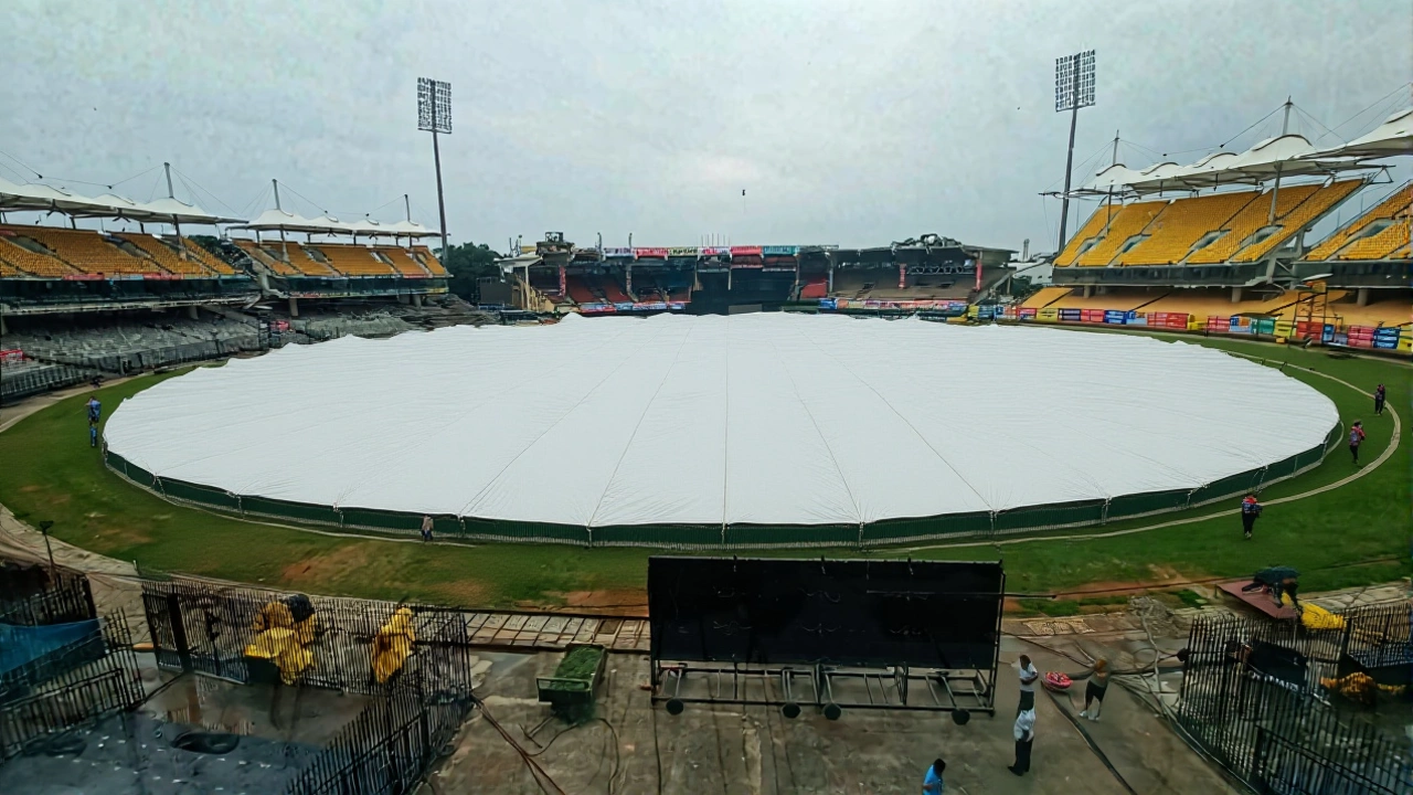
India Meteorological Dept. Issues Heavy Rain Alerts for 15 States
On August 22, 2025, Dr. L. S. Rathore, Director General of India Meteorological Department, announced a sweeping monsoon warning that covers more than a dozen states across the sub‑continent. The alert, issued at 13:45 IST, flags heavy to very heavy rainfall from August 22 through August 26, with isolated bouts of intense downpours lingering into the last week of the month.
What the Alert Means
The 2025 Monsoon Rainstorm AlertIndia is not just a routine forecast; it’s a call to action for disaster‑management teams, local authorities, and everyday commuters. According to the IMD, the North‑West region will see a surge in convective activity, while a persistent trough stretching from Odisha to Gujarat fuels prolonged moisture inflow.
- 22‑26 Aug: Heavy to very heavy rain across Uttar Pradesh, Bihar, Delhi‑NCR, Rajasthan, Gujarat, Maharashtra, Jharkhand, Odisha, West Bengal.
- 28 Aug: Potentially extreme rainfall in Gujarat and South‑East Rajasthan.
- Wind gusts up to 50 km/h expected in several zones.
- Four cyclonic circulations active: Jammu‑Kashmir, Southern Gujarat, Southern Madhya Pradesh, Eastern Assam.
- One trough line spanning from Odisha to Gujarat amplifies the monsoon’s reach.
Regions Under the Most Threat
Uttar Pradesh tops the list, with fifteen districts—including Prayagraj, Jaunpur, Sultanpur, Ayodhya, Sonbhadra, Varanasi, Mirzapur, Chandoli, Mahoba, and Bijnor—receiving a heavy‑rain alert. In the capital city of Lucknow, the IMD predicts scattered thunderstorms that could disrupt traffic and power supply.
Bihar follows, where ten districts face a 24‑hour heavy‑rain watch. Flood‑like conditions have already begun to appear in low‑lying areas of Patna and Katihar.
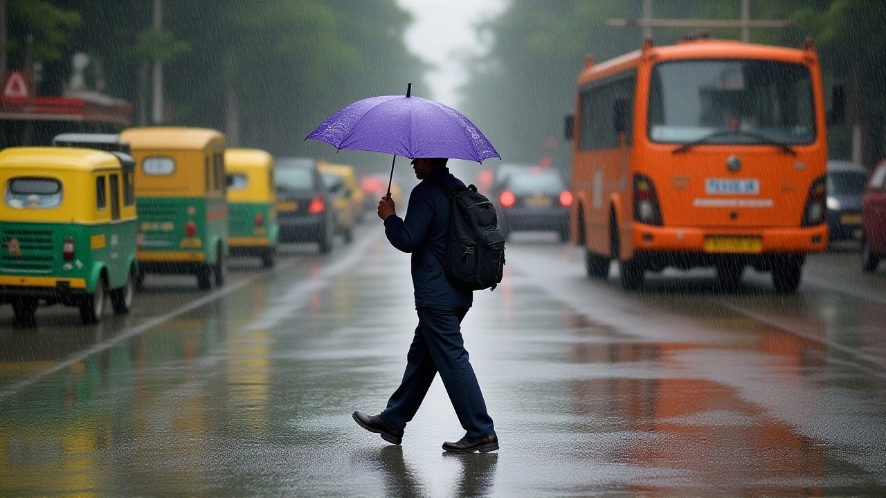
In Delhi‑NCR, the forecast calls for continuous rainfall through August 25, accompanied by gusty winds of 40‑50 km/h. Residents are warned of possible water‑logging on major arterial roads such as the Ring Road and the Delhi‑Gurgaon Expressway.
Meteorological Drivers Behind the Surge
Four cyclonic circulations are driving the moisture surge. The first, perched over the Jammu‑Kashmir region, is funneling north‑west winds that interact with the Himalayan barrier, creating lift and condensation. The second, centered in southern Gujarat, pulls warm Arabian Sea air inland. A third vortex over southern Madhya Pradesh adds a south‑to‑north moisture gradient, while the fourth over eastern Assam feeds the Bay of Bengal’s humid plume.
Overlaying these is a persistent trough line that stretches from Odisha’s coastal belt all the way to Gujarat. This feature acts like a conveyor belt, shuttling moisture across the Indian subcontinent and intensifying rainfall over the central plains.

Local Responses and Precautions
State governments have already mobilised disaster‑relief teams. In Uttar Pradesh, Yogi Adityanath, the chief minister, urged citizens to keep emergency kits ready, avoid low‑lying roads, and stay tuned to local radio for real‑time updates. A spokesperson for the Uttar Pradesh Disaster Management Authority said, "We have pre‑positioned sandbags in flood‑prone villages and dispatched 30 teams of rapid‑response units to the most vulnerable districts."
Delhi’s municipal corporation has announced that over 200 km of drainage pumps will operate 24 hours a day, and the city’s public‑transport authority is prepared to reroute buses if water‑logging blocks key routes.
Expert Opinions and Safety Tips
Climate scientist Dr. Anjali Menon from the Indian Institute of Tropical Meteorology said, "The convergence of multiple cyclonic circulations is unusual for this time of year. It suggests a stronger-than-normal monsoon surge, possibly linked to the ongoing El Niño‑Southern‑Oscillation pattern."
Her advice? "Carry waterproof footwear, keep mobile phones charged, and avoid venturing out during the heaviest forecast windows—typically between 1400 hrs and 2000 hrs." She also warned that sudden flash floods can develop in under‑drained canals, especially around the Ganges‑Yamuna doab.
Looking Ahead: Forecast Through End‑August
While the most intense period appears set for the 22‑26 August window, the IMD notes that residual showers could linger until the first week of September, especially over the western coastline of Gujarat. By August 28, the department expects a possible shift toward lighter drizzles as the trough weakens.
Overall, the monsoon this year is on a faster track than the 2024 season, delivering 15‑20 percent more rainfall over the core agricultural belt. This could be a boon for paddy harvests, but the accompanying flood risk demands vigilance.
Frequently Asked Questions
How will the heavy rain affect farmers in Uttar Pradesh?
The forecasted 120‑150 mm of rainfall could replenish soil moisture, benefitting the upcoming rice sowing season. However, excessive water may inundate low‑lying fields, especially in districts like Sultanpur and Ayodhya, potentially delaying planting if drainage is inadequate.
What safety measures should commuters in Delhi‑NCR take?
Travelers should check traffic updates before leaving home, avoid routes prone to water‑logging such as the Outer Ring Road, and keep an umbrella and waterproof shoes handy. Public transit agencies have promised alternate bus routes if major intersections become impassable.
Why are four cyclonic circulations active at the same time?
A combination of warm sea‑surface temperatures in the Arabian Sea and Bay of Bengal, plus a subtle shift in the subtropical jet stream, has allowed multiple low‑pressure systems to develop simultaneously. This rare alignment intensifies the monsoon’s transport of moisture inland.
What is the expected impact on power supply in the warned regions?
Heavy rains can trigger short‑circuits in overhead lines, especially in rural Bihar and Uttar Pradesh. Utility companies have placed standby crews in the affected districts and urge customers to keep emergency lighting and charge devices in advance.
When will the monsoon activity subside?
Meteorologists expect the trough line to weaken by the first week of September, bringing a gradual decline in heavy showers. Nonetheless, isolated thunderstorms may persist along the coastal belt of Gujarat until mid‑September.